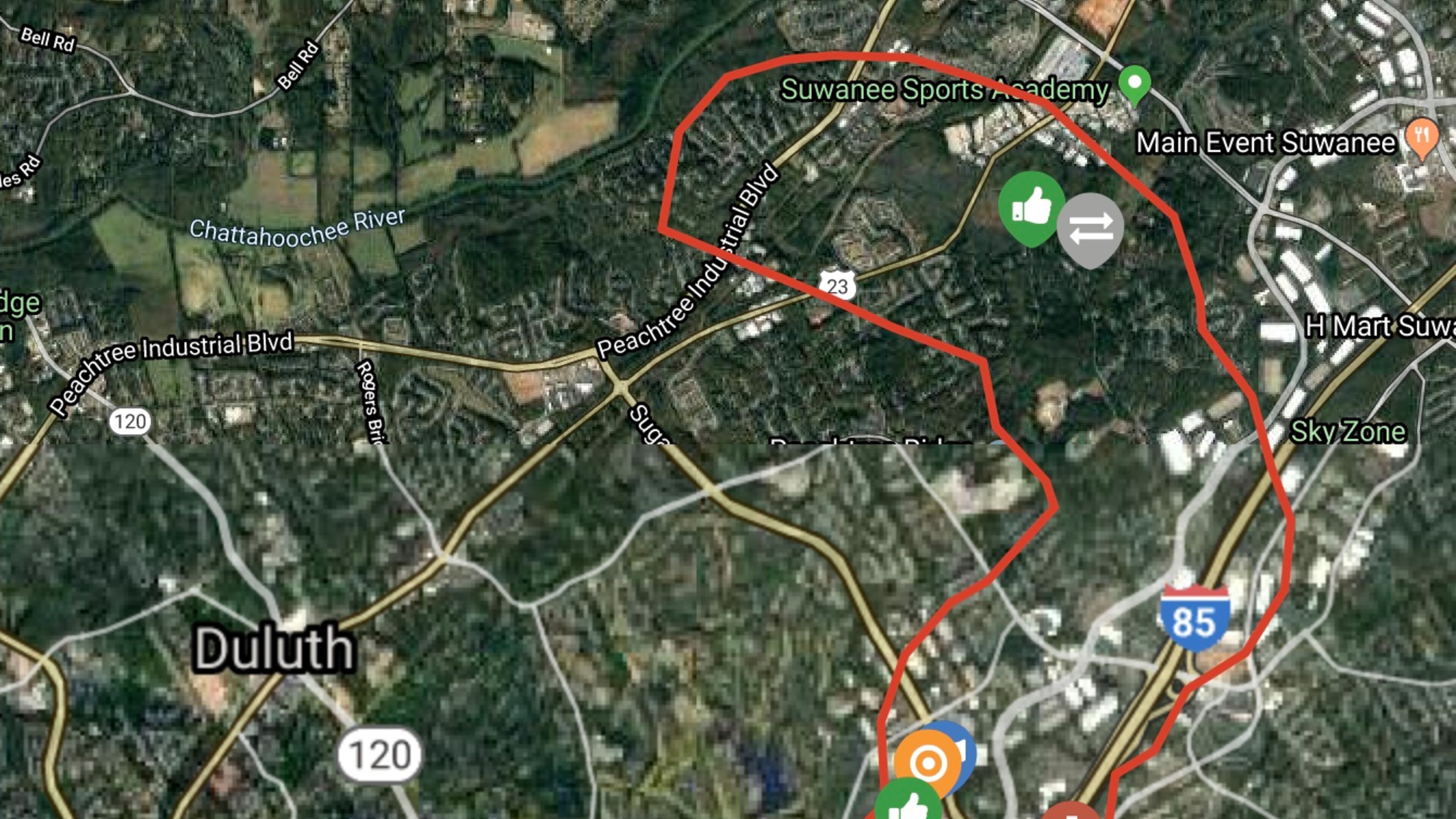
Residents encouraged to complete Gwinnett Loop Trail Study

Gwinnett, in partnership with the Sugarloaf Community Improvement District and the Atlanta Regional Commission is working to enhance the long-term connectivity of the area. Currently, a Loop Trail study is underway to provide an analysis of an approximate 14-mile segment of a 17-mile trail that will link to the Western Gwinnett Bikeway. The purpose of the study is to improve bike and pedestrian connectivity between existing parks and trails and to heavily traveled destinations and events, to reduce traffic congestion, and improve mobility and connectivity.
The proposed 17-mile Loop Trail system will be a combination of multi-use side paths along roadways and paved trails through greenspace and parks.
By participating in the study, residents can provide input on potential routes, alignments and trail configuration, as well as to help the planning team identify opportunities and challenges in this corridor.
Participate in the survey: www.tinyurl.com/LoopTrailSurvey.


