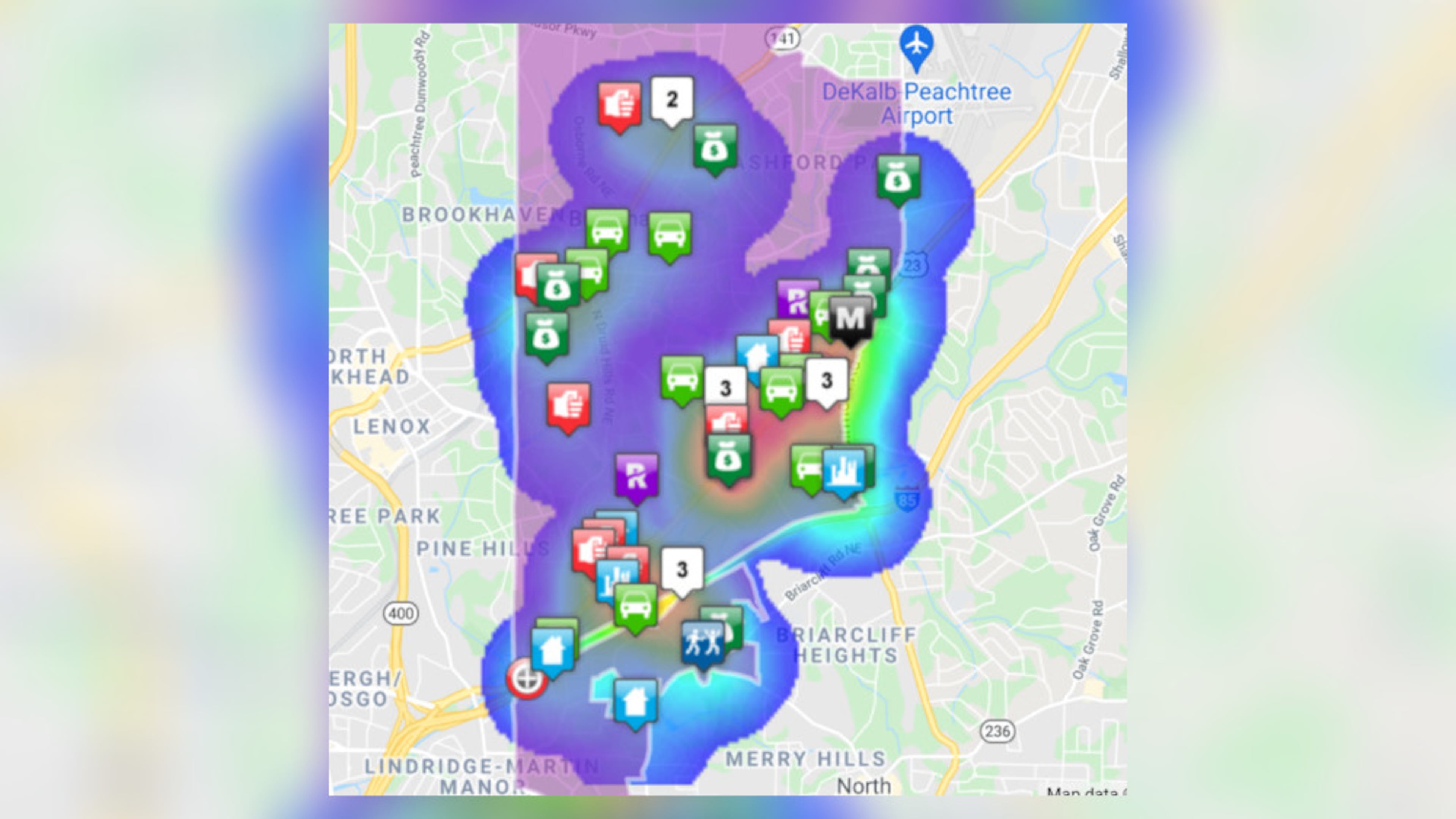
How’s crime in Brookhaven? Map lets you see for yourself

Brookhaven is joining several metro Atlanta police departments by sharing crime information on an interactive map, visualizing types of incidents and frequency throughout the city.
The interactive map, provided by LexisNexis, allows residents to search for their street, neighborhood or the entire city. There are options to sort by various types of crime or density. The map can also be filtered by a date range, and it can show up to one year’s worth of crime data at a time.
Brookhaven police said the map is updated twice daily based on police incident reports and includes everything except family violence incidents. While the map shows pretty specific locations, it doesn’t include specific addresses to protect the privacy of victims.
“The Brookhaven Police Department is working hard to make as much data available to our community as possible,” Police Chief Gary Yandura said in a news release.
Hundreds of cities across the country, including many in Georgia, partner with LexisNexis, a data mining company, to create the interactive crime map. Police departments in Kennesaw, Lawrenceville, Riverdale, Tucker and Georgia Tech also participate.
The map is available at communitycrimemap.com.
Brookhaven’s new data tool is part of the department’s Transparency Project, which was launched last summer amid widespread protests against racism and police brutality. The project aims to educate the public on how the department operates and build trust in the community.
In addition, the city established a Social Justice, Race and Equity Commission to evaluate police policies and tactics among other issues.
Everything stemming from the Transparency Project is available at brookhavenga.gov/transparency/page/police-transparency.


