Tropical system in the Caribbean could bring rain, flooding to Georgia

Federal forecasters warned residents of Georgia, Florida and the Carolinas Friday to pay close attention to a tropical system that is set to enter the warm waters of the Gulf of Mexico and could potentially bring heavy rain and strong winds as it moves across the region.
Labeled “Potential Tropical Cyclone Four” by the National Hurricane Center (NHC), the system was moving over Cuba on Friday afternoon. According to the NHC’s advisory issued at 11 a.m. Friday, the system is expected to move into the Gulf of Mexico on Saturday and then push north parallel to the west coast of Florida.
While it was still disorganized on Friday, the agency said it expects the system to coalesce as it moves across the Gulf, where conditions are “quite favorable for strengthening with light (wind) shear and very warm sea-surface temperatures.” If it reaches tropical storm strength, it would take the name “Debby” and become the fourth named storm of the Atlantic hurricane season.
The forecast for later in the weekend and early next week is murky.
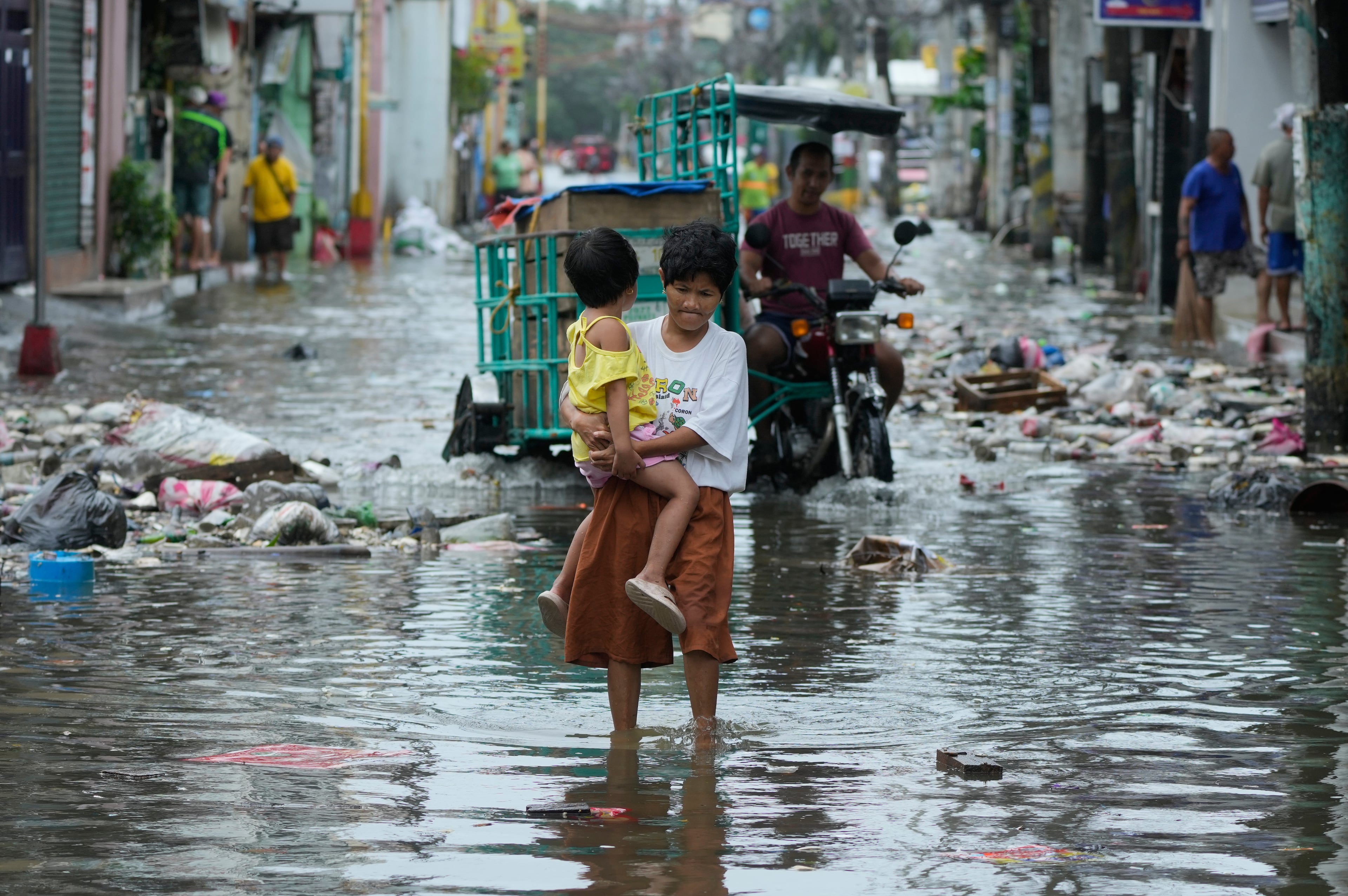
As it skirts the west coast of Florida, the storm is expected to bring strong winds, heavy rain and the potential for flooding as soon as Saturday. From there, it’s forecast to push across the northern Florida peninsula and then curve through deep south and coastal Georgia, before moving out over the Atlantic Ocean.
The NHC warned there’s still lots of uncertainty about the system’s trajectory. That means local impacts could change dramatically if there’s a small wobble in its path.
Still, it’s possible stormy conditions could arrive in Georgia as soon as late Sunday night and early Monday morning, the agency’s Friday forecast showed. If it does strike the Peach State, the most significant impacts are likely to be from heavy rain.
Areas south of a line stretching roughly from Albany northeast to Statesboro are projected to receive anywhere from two to four inches of precipitation. Rainfall totals in Brunswick, Savannah and other Georgia coastal towns could be even higher, between six and eight inches. Those amounts would have the potential to cause flooding in low-lying areas. As of Friday, Atlanta was not expected receive heavy rain.
In a statement, Georgia Power — the state’s largest electric utility — said it was monitoring the situation and is prepared to respond to damage or potential power outages.
The storm’s potential formation comes in the early days of what is expected to be an extremely active Atlantic hurricane season.
In late May, the National Oceanic and Atmospheric Administration (NOAA) announced its projection for between 17 and 25 named storms to form during hurricane season, well above the average of 14 storms seen over the last 30 years. Of those, eight to 13 storms were forecast to become hurricanes, with four to seven expected to grow into “major hurricanes” with sustained winds of 111 miles per hour or greater.
The number of storms the agency forecast was the most it had ever predicted ahead of a hurricane season.
A note of disclosure
This coverage is supported by a partnership with Green South Foundation and Journalism Funding Partners. You can learn more and support our climate reporting by donating at ajc.com/donate/climate/
About the Author

Drew Kann is a reporter at The Atlanta Journal-Constitution covering climate change and environmental issues. His passion is for stories that capture how humans are responding to a changing environment. He is a proud graduate of the University of Georgia and Northwestern University, and prior to joining the AJC, he held various roles at CNN.