Forecast predicts slightly less active Atlantic hurricane season

An influential group of researchers is predicting that the 2023 hurricane season will be slightly less active than normal, but conflicting signals from both the Pacific and Atlantic Ocean means their forecast carries more uncertainty than in years past.
Scientists from Colorado State University (CSU) said Thursday that the upcoming Atlantic hurricane season — which officially begins June 1 and runs through Nov. 30 — is expected to produce 13 named storms. Of those, six are projected to become hurricanes, with two reaching major hurricane status, packing sustained winds of 111 miles per hour or greater.
Over the last three decades, the Atlantic basin has produced an average of 14.4 named storms each year, with 7.2 storms -developing into hurricanes.
The researchers say their prediction is driven mostly by the expectation that the Pacific Ocean will transition to El Niño conditions coming months. A separate forecast released Thursday by the National Oceanic and Atmospheric Administration said there’s a 62% chance that El Niño will develop in May or June, but exactly how strong it will be remains unclear.
El Niño is characterized by warmer than-normal temperatures in the tropical waters of the Pacific Ocean, which can influence weather conditions across the globe. The phenomenon tends to send strong, westerly winds blowing across the Caribbean and the Atlantic, which can tear apart tropical storms and hurricanes as they try to form.
Conditions in the Atlantic Ocean, meanwhile, appear to be more conducive to hurricane formation.
The CSU scientists said temperatures in the eastern and subtropical Atlantic are well above normal, providing ample fuel to spawn hurricanes. Those seemingly opposed forces in the Atlantic and Pacific Oceans give this forecast more uncertainty than normal, the researchers said.
“If a robust El Niño does not develop, the potential for an active Atlantic hurricane season still exists,” they said.
A growing body of evidence shows that human-caused climate change is altering hurricane season and triggering other shifts that can make tropical storms more destructive. Global sea levels have risen, allowing storm surge to reach farther inland. Warmer air temperatures also mean storms can hold more water, leading to increased rainfall rates that raise the risk of damaging floods.
Predicting where hurricanes will strike remains difficult, but the forecasters estimate that Georgia has a 32% chance of a hurricane passing within 50 miles of the state.
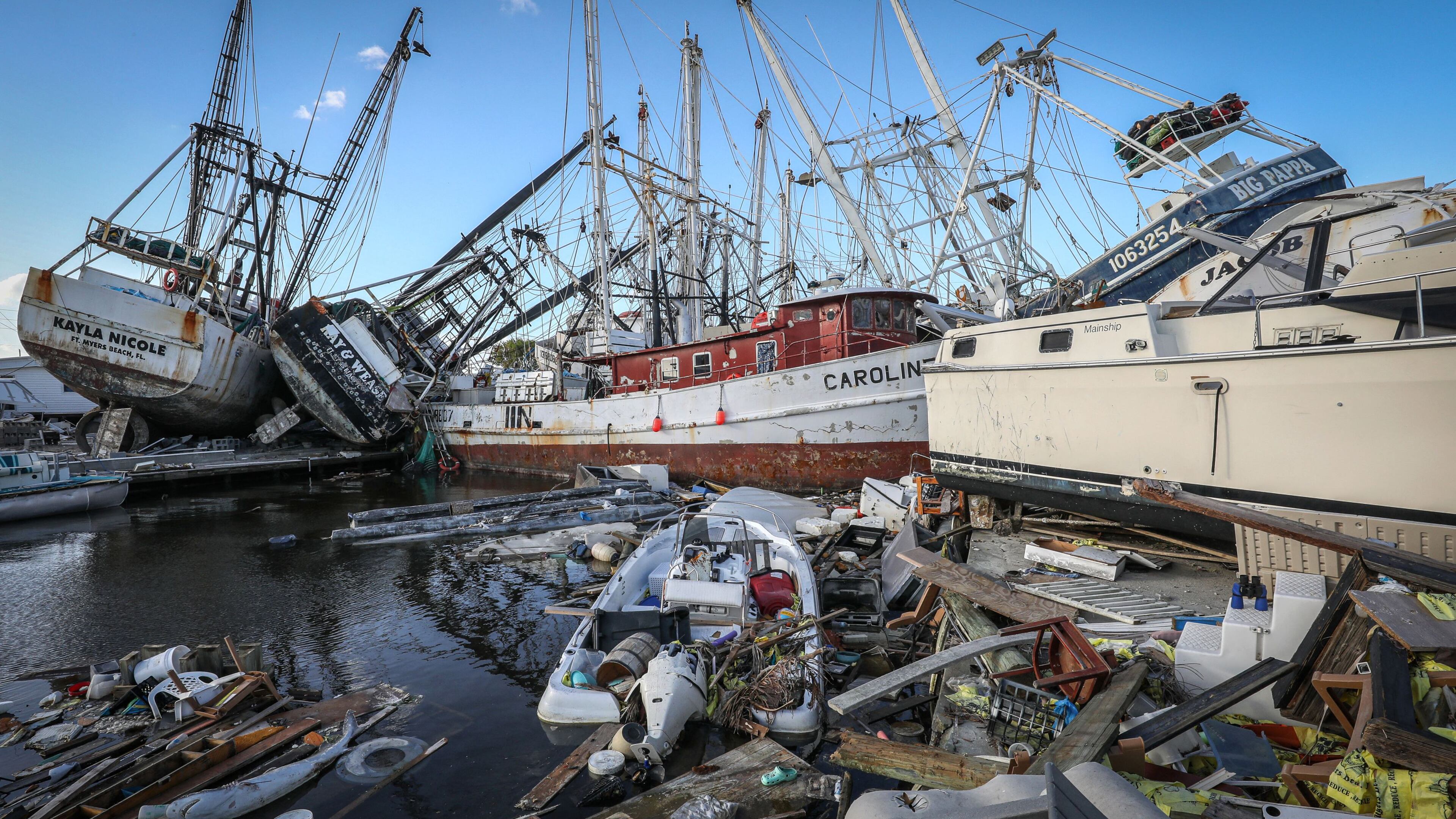
In 2022, Georgia was fortunate to dodge a direct hit from Hurricane Ian after the massive storm raked across the Florida peninsula. Ian was a high-end Category 4 storm when it made landfall in southwestern Florida, packing winds of 150 miles per hour. The storm was responsible for around 150 deaths and caused approximately $112 billion in damage, making it the costliest storm in Florida’s history and the third-costliest to ever strike the U.S.
Though Georgia hasn’t suffered a major direct landfall since 1898, several storms have hit the state hard after striking first elsewhere. In 2018, Hurricane Michael first came ashore on the Florida Panhandle, before churning north through Georgia, causing billions of dollars in property damage and crop losses.
The CSU researchers will issue their next hurricane season predictions on June 1. The federal government’s forecast for the upcoming season is expected in late May.
A note of disclosure
This coverage is supported by a partnership with 1Earth Fund, the Kendeda Fund and Journalism Funding Partners. You can learn more and support our climate reporting by donating at https://www.ajc.com/donate/climate/


