Metro Atlanta
Severe weather this weekend: Live updates


1/30
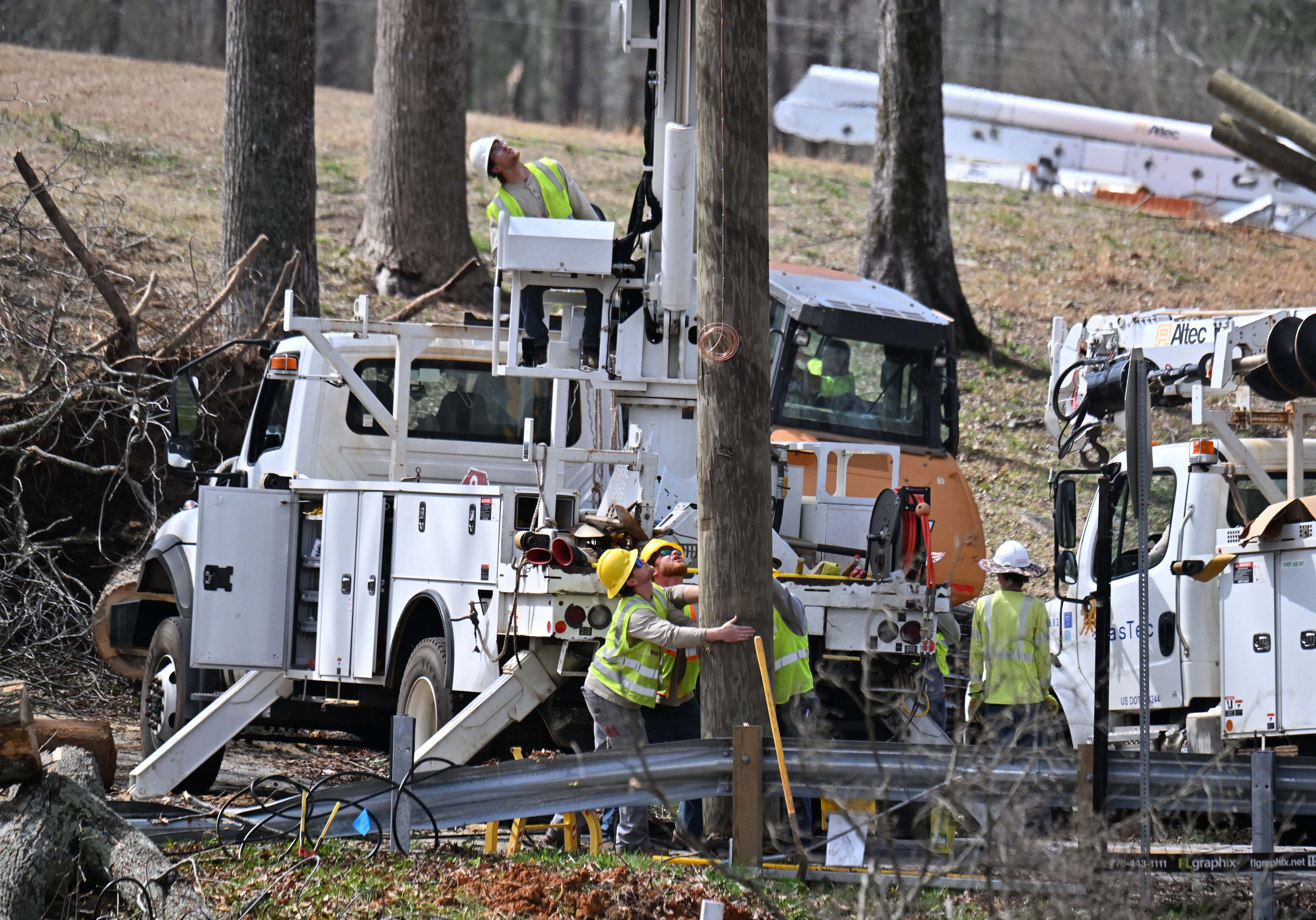
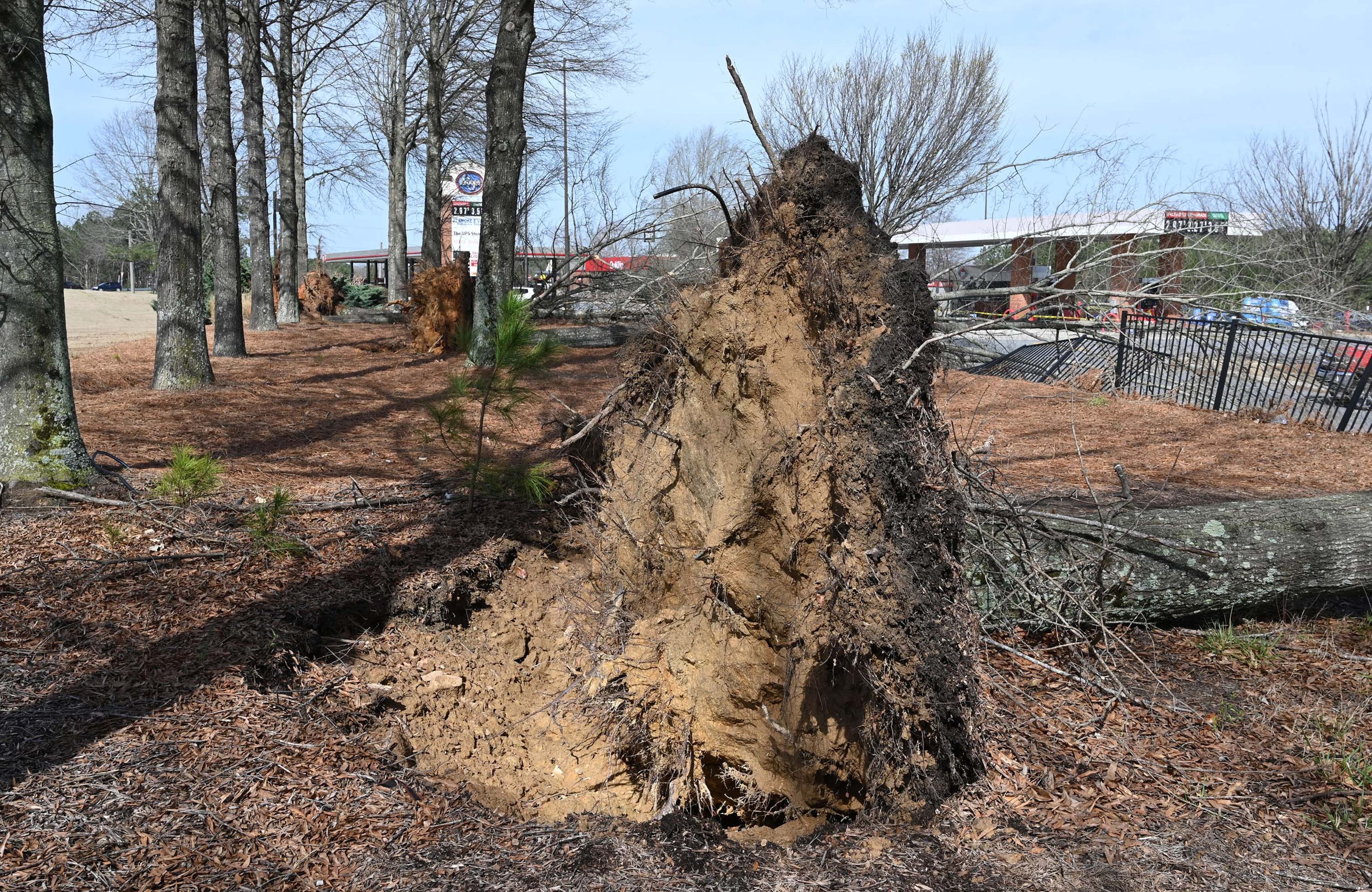
Workers, clean up damaged house near Paulding County High School after a storm passed through, Sunday, March 16, 2025, in Dallas. National Weather Service teams will be conducting a damage survey in the Paulding County/Dallas area, which sustained “pretty significant” damage from the storms, NWS Senior Meteorologist Dylan Lusk told The Atlanta Journal-Constitution on Sunday morning. (Hyosub Shin / AJC)
The expected severe weather arrived on Saturday night in Georgia, with storms hitting metro Atlanta by midnight.
Georgia’s western border and parts of the metro’s west side were under a Level 4 of 5 risk for severe weather Saturday and Sunday, the National Weather Service warned. A large portion of the rest of the state was under a Level 3 risk. The locations under a Level 4 threat carried a 15% chance of tornado formation within 25 miles of any given point. Areas under a Level 3 threat had a 10% chance.
Here’s the latest on the aftermath of the severe weather.