A canceled flight to Indianapolis for NASCAR announcing duties and a weekend jaunt to the Charlotte area for some dear friends’ wedding celebration saw me log some long hours and about 1,500 miles behind the wheel in the last few weeks. Both trips put me in situations of utter reliance on my GPS and utter defiance – each posture with its own pros and cons.
I was largely at the mercy of turn-by-turn navigation on the Indianapolis trip, as I had never been to Indy. Google Maps navigation led me on the straight and narrow up to there, but sent me on a circuitous route back to Atlanta.
As I left Indy, Google erroneously thought an entire freeway was closed and it kept trying to turn me around and send me the wrong way. I decided to forge ahead and let it reset itself and eventually set my route southward.
When I entered Kentucky and got near the popular Mammoth Cave National Park, Google altered my route to take off-interstate highways for about 100 miles. I did not enter the interstate again until close to Chattanooga. Ultimately, I did not know if this really saved me time.
The different directions could have been because of Monday morning rush hour traffic or a crash – both of which could have cleared by the time I got anywhere near them. But my unfamiliarity with the region and with traffic patterns left me deciding to trust the bots.
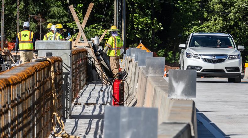
My 20 years as an Atlanta traffic reporter may or may not have actually cost me time in trying to navigate around I-85 road work for last weekend’s North Carolina trip. By listening to 95.5 WSB and monitoring our Triple Team Traffic Alerts App, I knew that road crews had three left lanes blocked I-85/northbound north of Jimmy Carter Boulevard (Exit 99) last Saturday morning (and all weekend). We left Chamblee with Google Maps steering us right into the mess. I was having none of it. In fact, I only had navigation on so we could see our ETA and navigate once after the 200-mile plus trip on I-85.
I started up Buford Highway, since it directly intersects with Beaver Ruin Road, which enters I-85/northbound north of the road work. Google Maps liked this move, but kept trying to navigate me to take Jimmy Carter Boulevard and enter I-85/northbound at the tail end of the work zone. Again, I was having none of it.
Unfortunately, road crews were doing semi-long term projects along Buford Highway, between Jimmy Carter and Beaver Ruin and it was backing up. Just after passing Jimmy Carter, I backtracked to North Norcross Tucker Road, then to Jimmy Carter, but then to Brook Hollow Parkway. I knew Brook Hollow crossed Indian Trail Road, which intersected I-85/northbound just ahead of the work. But Brook Hollow is a small road and many more folks were trying to take it, likely at their GPS’ suggestions. The stop sign at Center Way was especially rough.
My own decision to avoid sitting in the entire I-85 jam was a win. Google Maps’ choice to put me on Jimmy Carter, which I first ignored, was the right one.
On Sunday’s return trip from the Carolinas, the I-85/southbound road work in three left lanes at Indian Trail jammed the freeway from Highway 316. I knew this hours before and chose to exit at Highway 120 (Exit 107) and take Satellite Boulevard. Google Maps liked that move. Knowing Satellite would only take us to Beaver Ruin and still deposit us into the middle of the work zone, I followed the GPS’ advice and took Old Norcross Road, which eventually only took us to Singleton and Beaver Ruin.
Even then, I stayed stubborn. I was not entering I-85/southbound in the middle of the road work. I stayed on Beaver Ruin, deciding to take it to Indian Trail and then onto I-85/southbound and past the cones. Wrong. Dozens of other people, including those avoiding I-85/northbound work, jammed both Beaver Ruin and Indian Trail.
Basically, any way that I took was going to cost us 15-30 minutes. My choice to override the algorithm put us on the high end of that number.
A commuters’ understanding of their area can help them pivot in the early stages of a traffic event. But once a delay-inducing incident has been in place for a long time, many drivers’ GPS apps are sending them on the alternates – those apps also have had longer to adjust to the jams. Trying to outsmart turn-by-turn navigation gets harder, the longer a traffic jam lasts.
I highly recommend Atlanta drivers constantly check in with our 95.5 WSB 24-hour Traffic Center and our Triple Team Traffic Alerts App. Combining that information with both local understanding and a macro-algorithm with Google or Apple Maps helps make the best driving recipe.
However, long lasting gridlocks will clog all the adjacent pipes. Sometimes a commuter like me needs to take their medicine and realize they are not going to outfox physics.
Doug Turnbull, the PM drive Skycopter anchor for Triple Team Traffic on 95.5 WSB, is the Gridlock Guy. Download the Triple Team Traffic Alerts App to hear reports from the WSB Traffic Team automatically when you drive near trouble spots. Contact him at Doug.Turnbull@cmg.com.
About the Author
Keep Reading
The Latest
Featured


