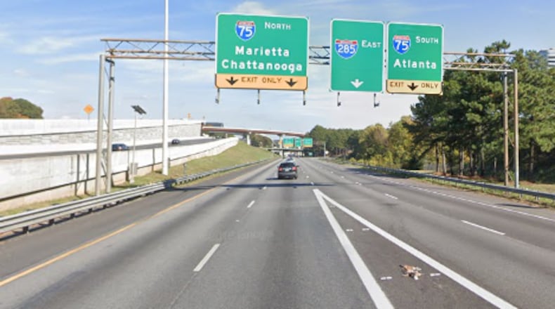
If you listen to Atlanta traffic reports, one of the frequent locations in the news is the Cobb Cloverleaf, the intersection of I-75 and I-285 on the north side of Atlanta.
As the name suggests, it is located partly in Cobb County and partly in Fulton County near the borders of Sandy Springs and Atlanta.
It’s a key intersection for traffic entering and leaving Atlanta on I-75, and also close to Cumberland Mall and the Atlanta Braves stadium, Truist Park.
For Atlanta traffic alerts and alternate routes
- In your car, tune your radio or phone to 95.5 WSB radio.
- From your computer, use the AJC Atlanta Traffic map or the Georgia DOT 511 site and follow @ajcwsbtraffic on Twitter.
- Using the toll lanes in metro Atlanta requires a Peach Pass. If you’re just passing through, they are available for purchase at select CVS and Walgreens.
Other Atlanta traffic names
Top-end perimeter: Also I-285, referring to the northern part of the quasi-circular-ish highway around Atlanta (where Braves pitcher Pascual Perez got lost one day driving to the ballpark). The outer loop goes from east to west. The inner loop goes the other way.
Spaghetti Junction: The other bottleneck on the north side of Atlanta, where I-85 and I-285 meet northeast of Atlanta. It’s so famous the New Georgia Encylopedia gave it a listing.
The Captain Herb Flyover Ramp: Georgia 400 South inside I-285 at I-85.
Staff member Brian O’Shea contributed to this article
About the Author
The Latest
Featured

