Sandy Springs adopts new development code

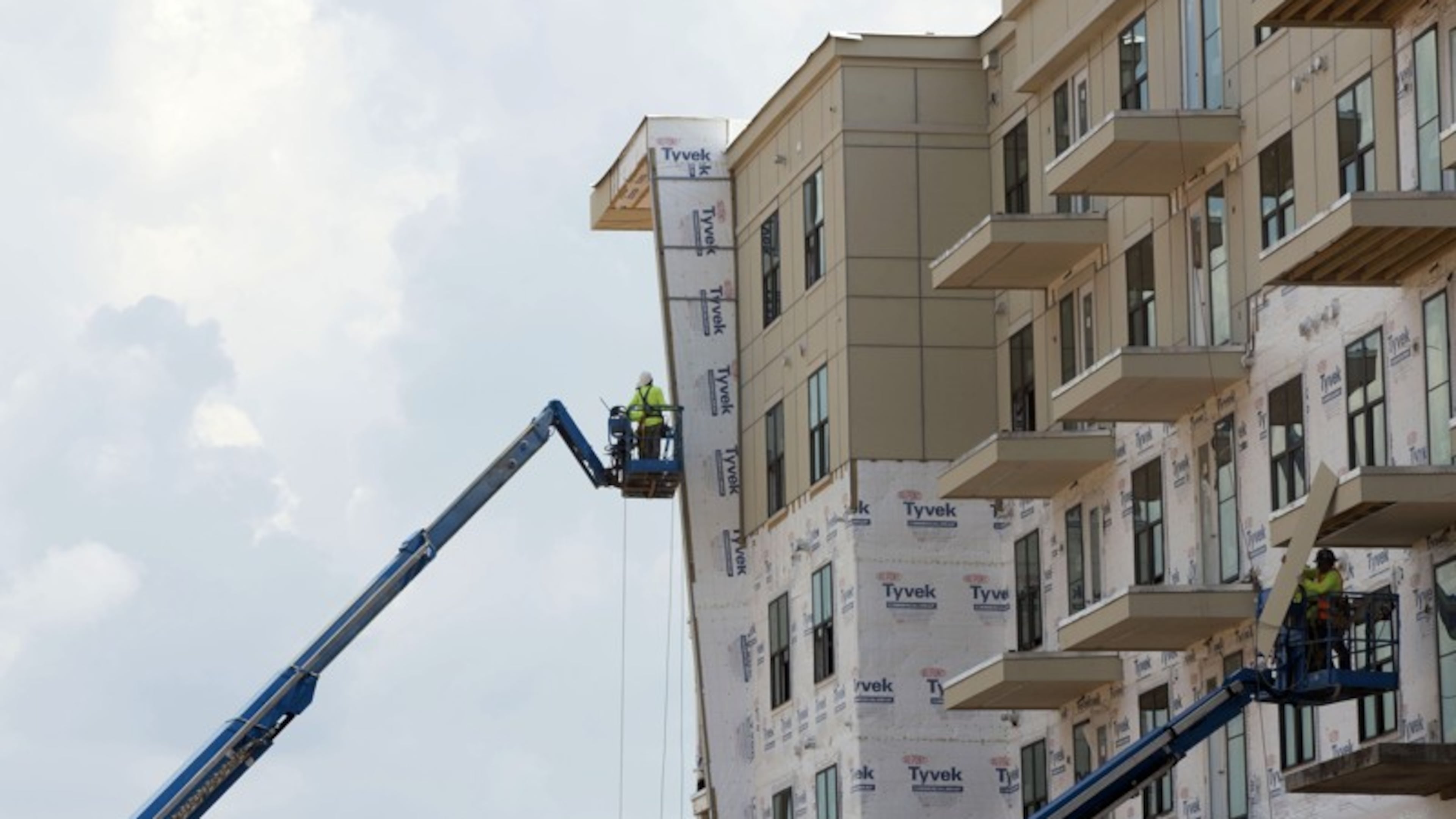
— A new development code and zoning maps that designate two-thirds of the city as “protected neighborhoods” — to be preserved as low-density, single-family residential areas — have been adopted by the Sandy Springs City Council.
The council voted 6-0 Aug. 16 to approve the code and maps. They implement the "Next Ten" comprehensive plan update, a 10-year policy and planning document adopted by the city in February. Information: http://thenext10.org/
“Where the Comp Plan provides guidance in planning, the Sandy Springs Development Code provides the regulations related to type, scale and intensity of development which can occur in the specified districts,” the city said. The new code takes effect Sept. 15. All development moratoriums will be lifted at that time.
Outside protected neighborhoods, such as areas near transit, there may be opportunities for higher densities and incentives for developers to create middle-income “workforce” housing. Mayor Rusty Paul said a task force would be created to address the issue.
The document also identifies a “Village Neighborhood Character Area” along Roswell Road south of I-285. Little change here is expected in the near future, but the designation, along with “shopfront zoning” that encourages pedestrian use, “provides opportunities for less dense office uses, creating better transition with the nearby protected neighborhoods,” the city said.

